Description
Advantages:
- Highly accurate and detailed results
- Fully automated with intuitive workflow
- GPU acceleration for faster processing
- Network processing for large projects
- Cloud processing to save up on infrastructure
- Reasonably powerful Standard edition for art projects
- Easy sharing with PDF / fly through video export and direct upload to online devices
- Stereoscopic measurements for precise feature extraction
Capabilities:
- Aerial and close-range triangulation
- Incremental image alignment
- Dense point cloud generation and automatic classification
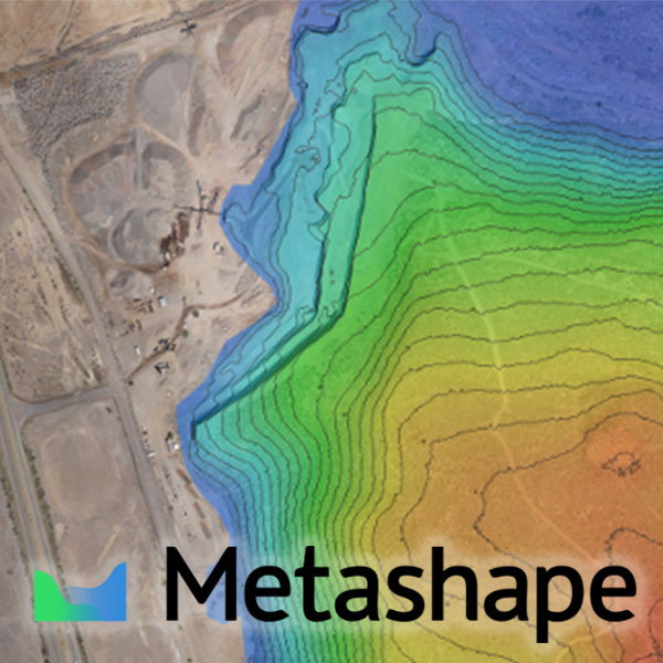
- DSM / DTM generation
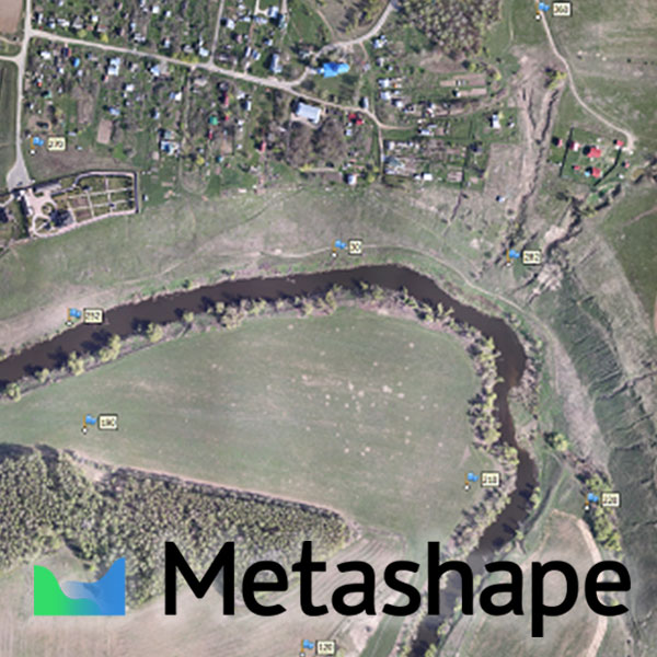
- True orthomosaic generation in user defined projection
- Automatic seamline refinement for traditional DTM-based orthomosaics
- Manual seamline editing
- Elevation contour lines generation
- Georeferencing using flight log and / or GCPs
- Coded and non-coded targets auto detection
- Coordinate / distance / area / volume measurements
- Multispectral imagery processing and vegetation index calculation
- Texture generation with delighting and deghosting filters
- 4D reconstruction for dynamic scenes
- Hierarchical tiled model generation and visualization
- Polygonal model reconstruction
- Spherical panorama stitching
- Built-in Python scripting for job automation
- Headless operations support
Compatibility:
- Supports digital/film/video cameras and multi-camera systems
- Processes images from frame/fisheye/spherical/cylindrical cameras
- Works well with most UAVs
- Integrates with LiDAR workflows with point cloud import
- Exports results in widely supported formats
- Supports most EPSG coordinate systems and configurable vertical datums
- Runs on Windows, Mac OS X, Linux
Agisoft Metashape is an integrated solution tailored to needs of industries such as:
- Surveying and Mapping
- Mining and Quarrying
- Precision Agriculture and Environmental Management
- Archaeology and Documentation
- Architecture and Cultural Heritage Preservation
TECHNICAL SPECIFICATIONS
Recommended hardware:
Basic configuration (up to 32 GB RAM)
- CPU: Quad-core Intel Core i7 CPU, Socket LGA 1150 or 1155 (Haswell, Ivy Bridge or Sandy Bridge)
- Motherboard: Any LGA 1150 or 1155 model with 4 DDR3 slots and at least 1 PCI Express x16 slot
- RAM: DDR3-1600, 4 x 4 GB (16 GB total) or 4 x 8 GB (32 GB total)
- GPU: Nvidia GeForce GTX 780 or GeForce GTX 980 (optional)
Advanced configuration (up to 64 GB RAM)
- CPU: Six-core Intel Core i7 CPU, Socket LGA 2011-v3 or 2011 (Haswell-E, Ivy Bridge-E or Sandy Bridge-E)
- Motherboard: Any LGA 2011-v3 or 2011 model with 8 DDR4 or DDR3 slots and at least 1 PCI Express x16 slot
- RAM: DDR4-2133 or DDR3-1600, 8 x 4 GB (32 GB total) or 8 x 8 GB (64 GB total)
- GPU: Nvidia GeForce GTX 780 Ti, GeForce GTX 980 or GeForce GTX TITAN X
Extreme configuration (more than 64 GB RAM)
For processing of extremely large data sets a dual socket Intel Xeon Workstation can be used.
Scope of delivery
License-key for 1 Stand-alone license of Professional Edition – Single
We have quantity discounts available!
- License pack pricing for Metashape Professional Edition, Node Locked, Floating or Educational. 3, 5, 10, 20 License Pack
- License packs pricing for Standard Edition
- Educational licenses and packs of Professional/Standard Edition
Just send us an email!
